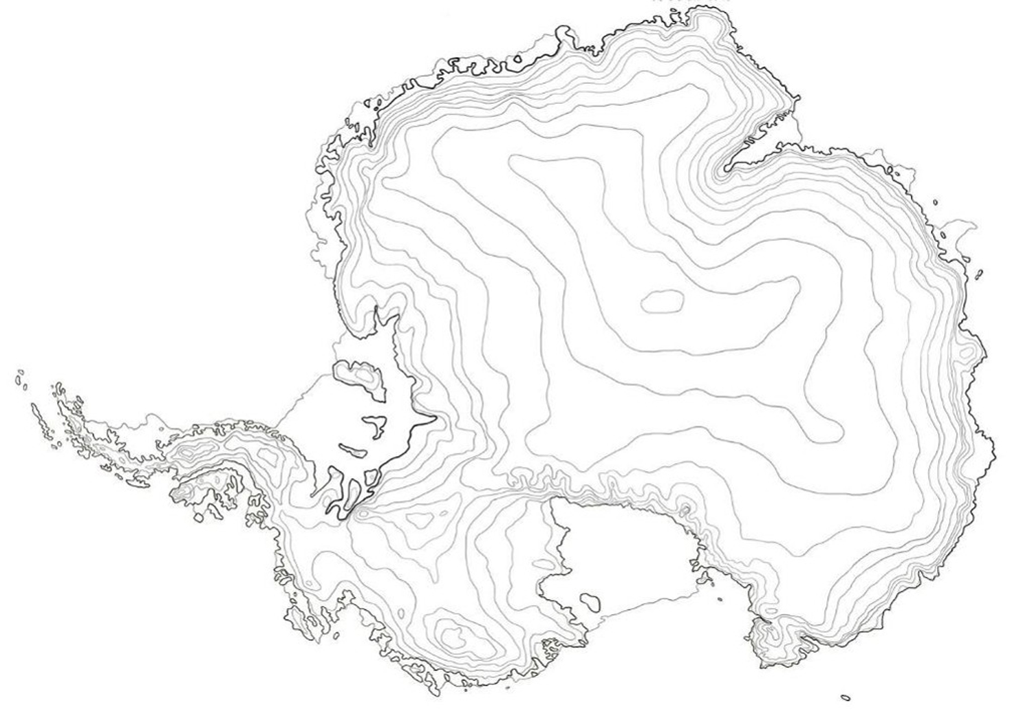
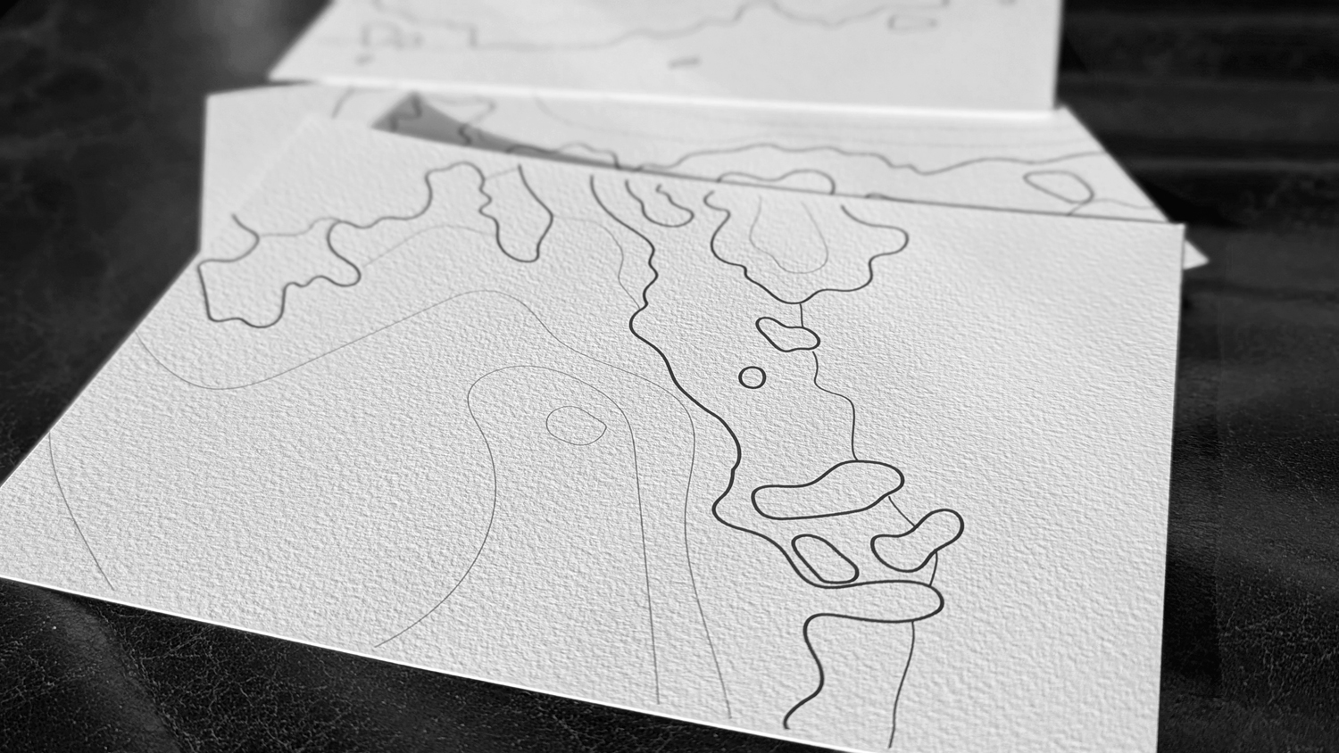
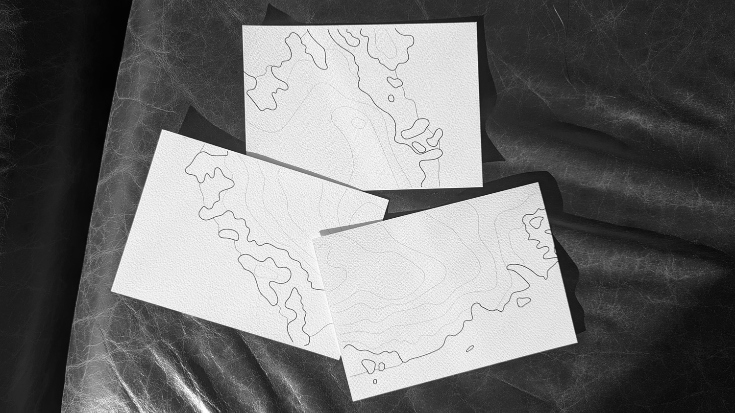
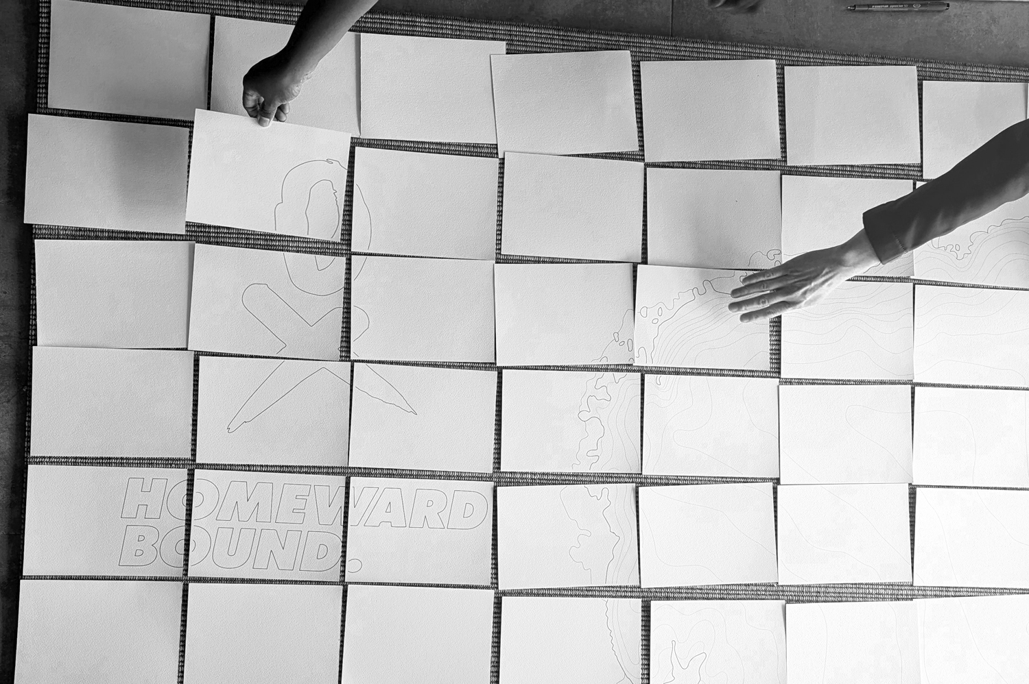
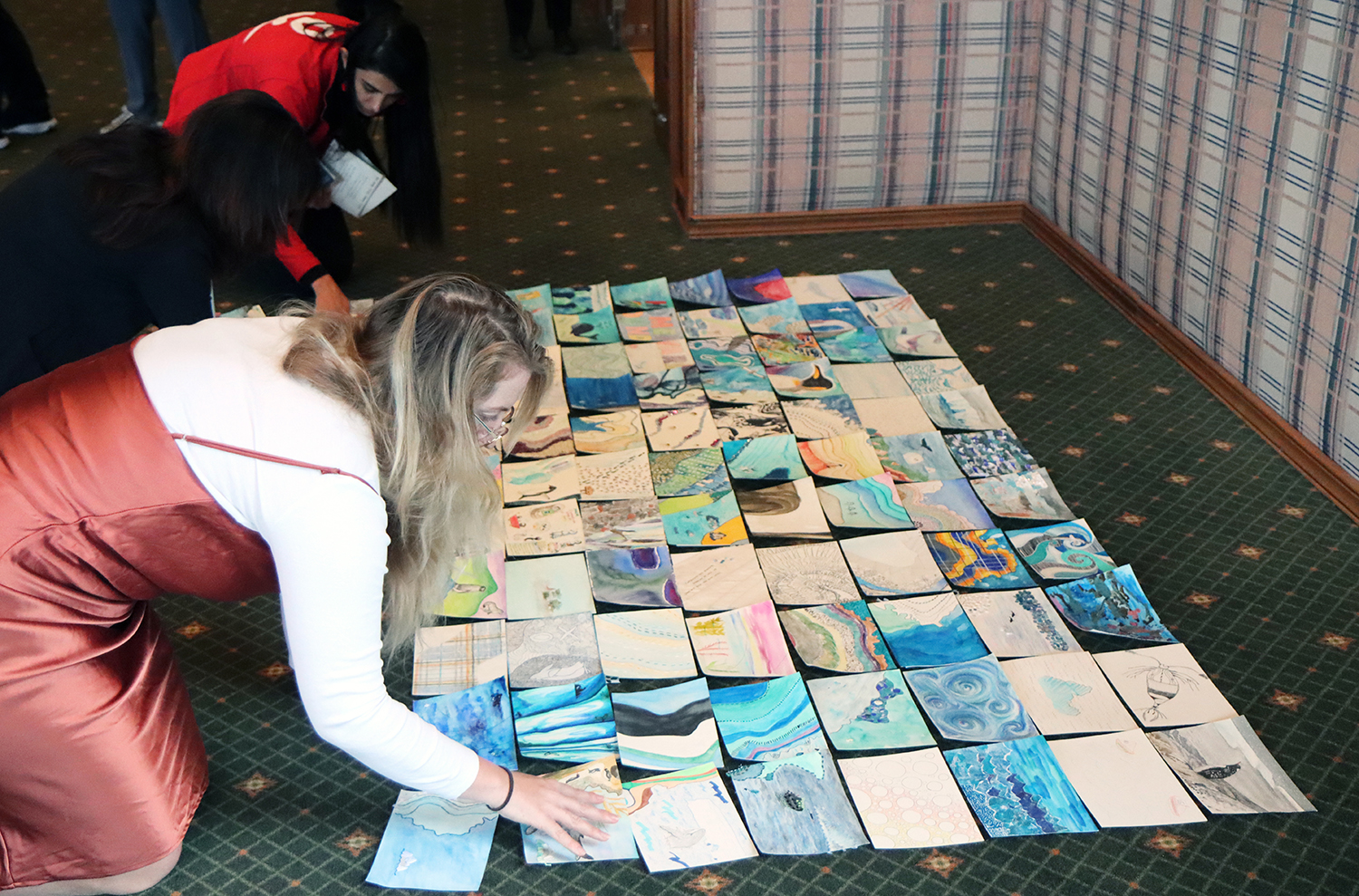
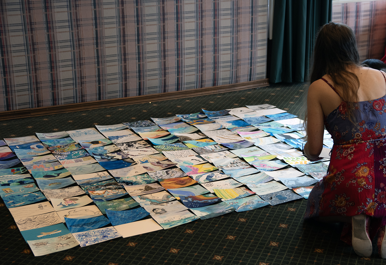
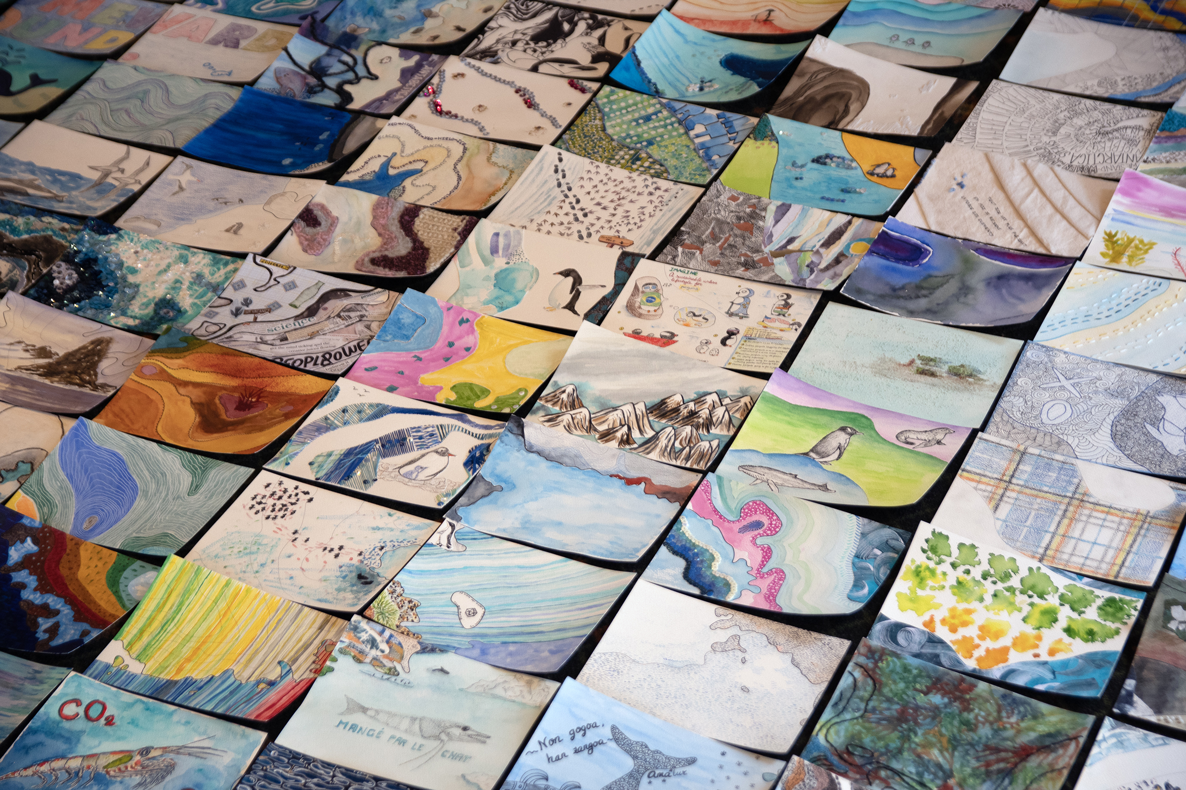
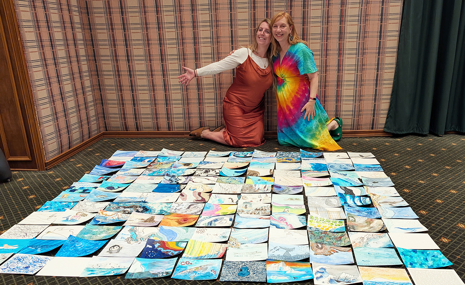
The final Antarctica map consists of 132 A5 size postcards, each representing a small part of Antarctica. Jessica Lee Leck created the original digital drawing of Antarctica, using 400 metre contour lines to create a topographic map. The map was split into a grid, and then printed to create a unique set of postcards. Keeping track of where every piece of the puzzle fit was our first challenge!
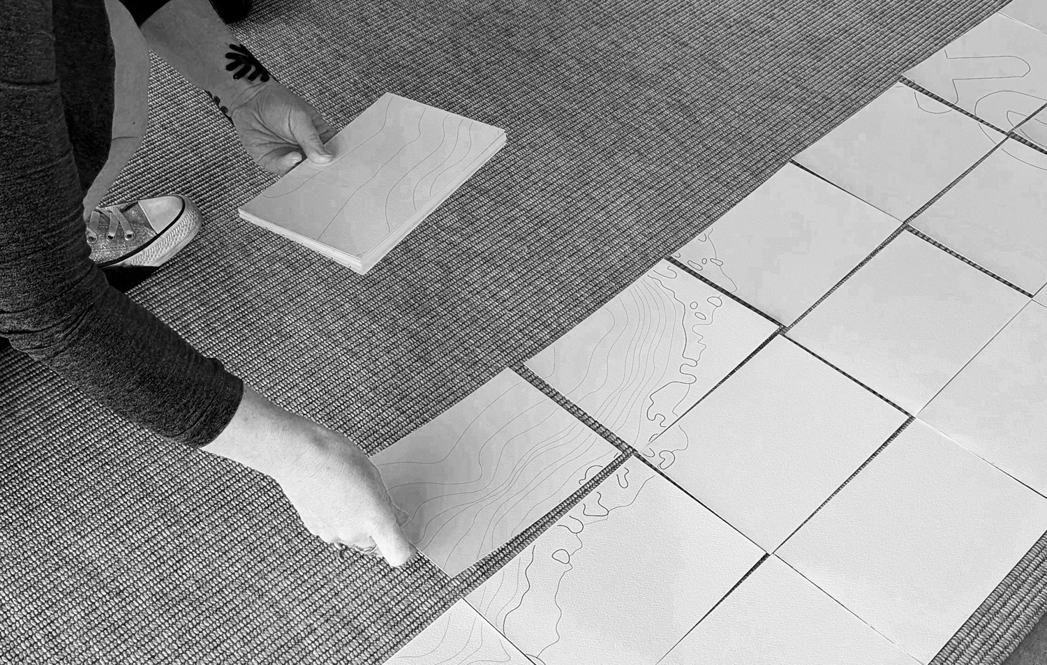
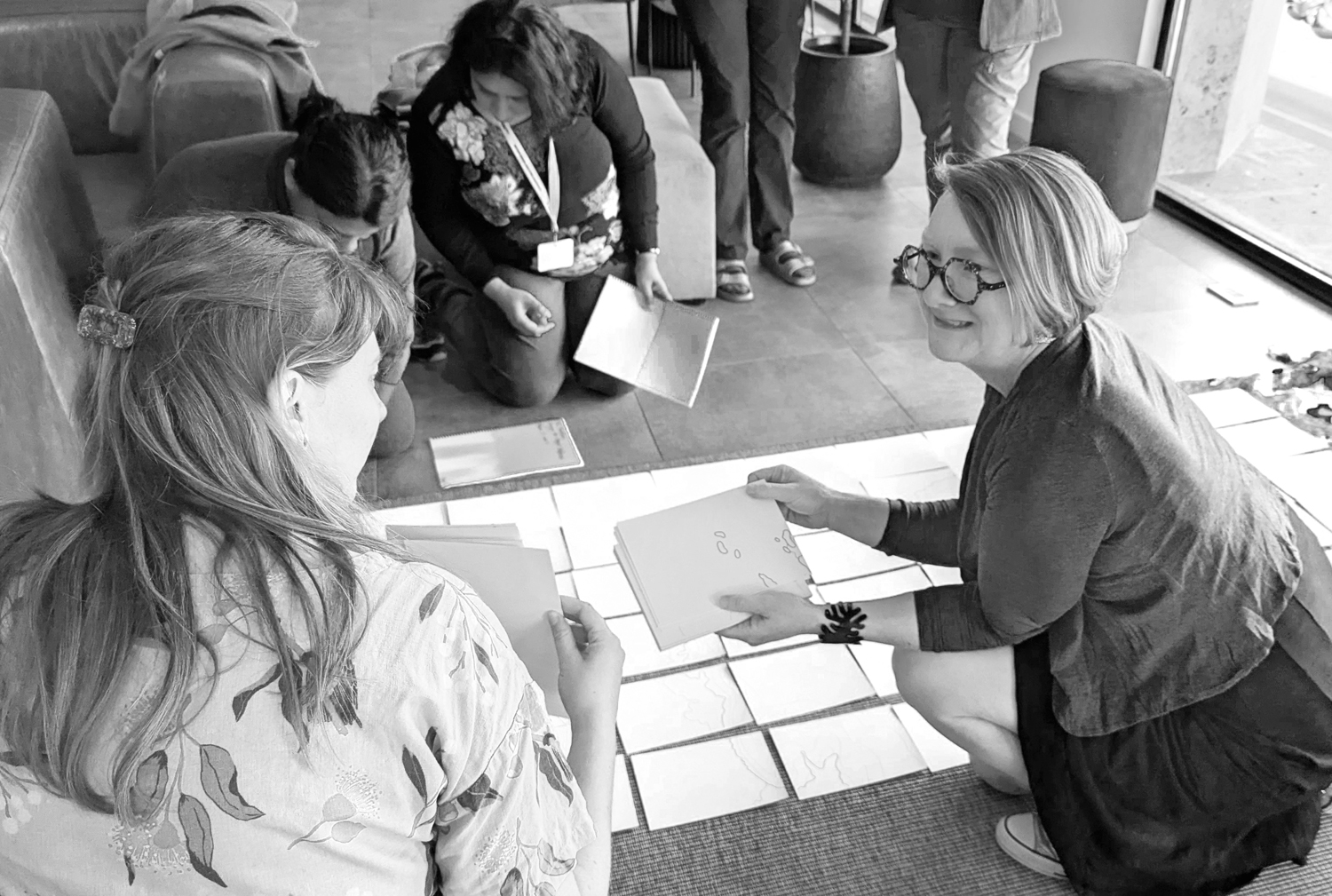
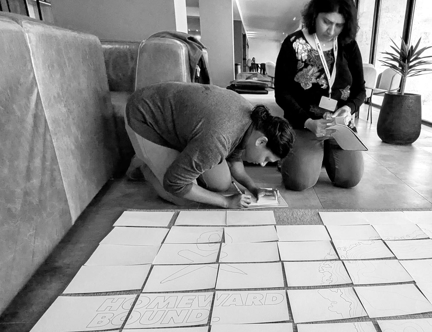
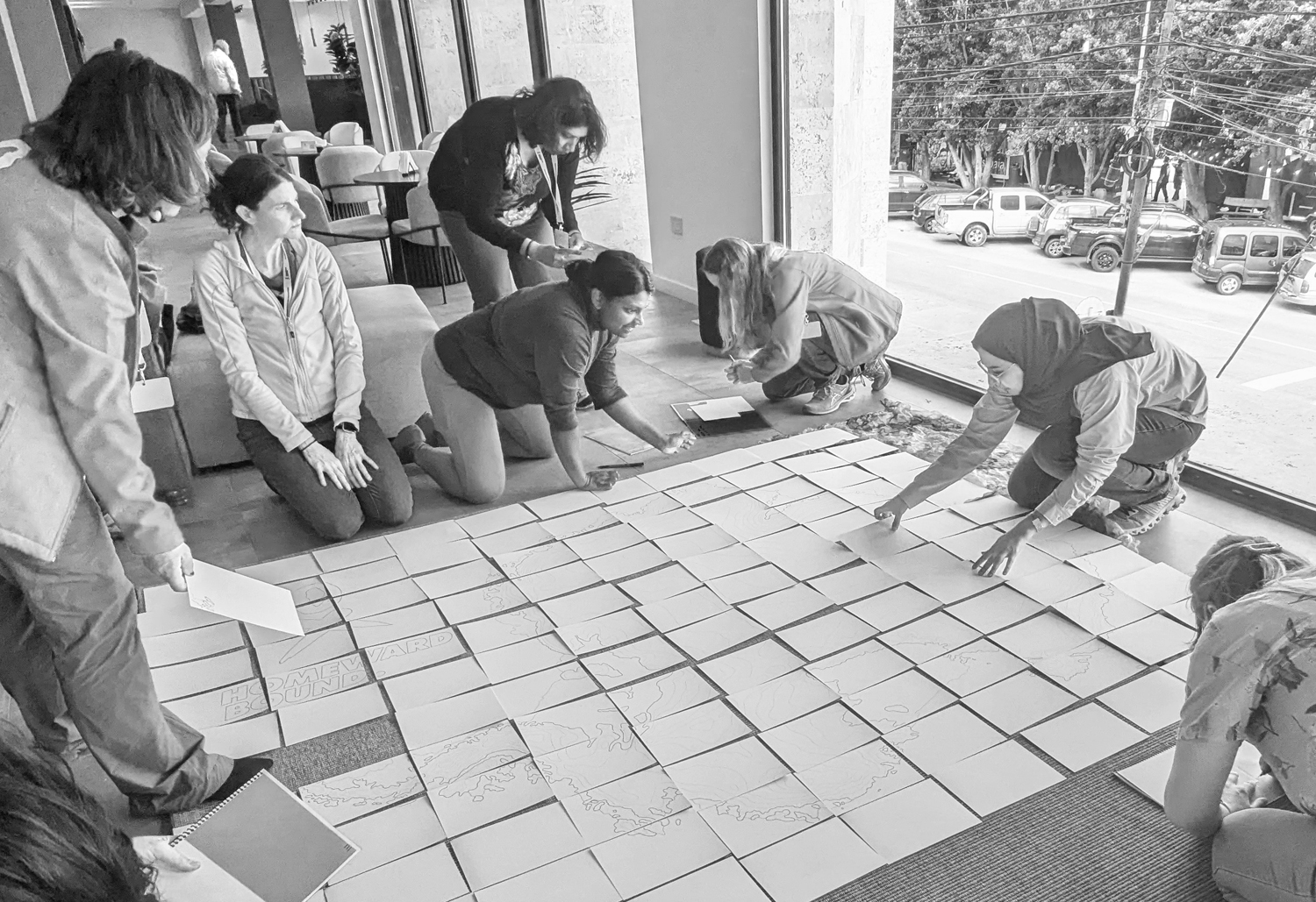
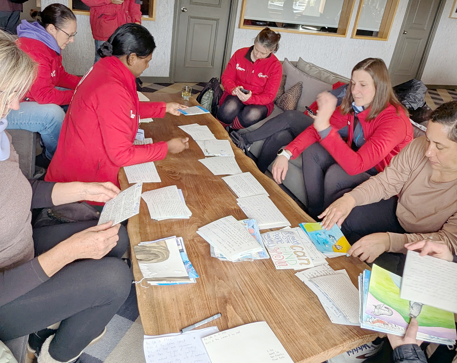
Before we set out on our voyage to Antarctica, a group of voyagers came together in Ushuaia to assemble the puzzle and give each piece a unique identifying number, and an arrow so the recipient would know which way was 'up'. At this stage, all the cards were blank, and it would be another two weeks before we would see them all together again.
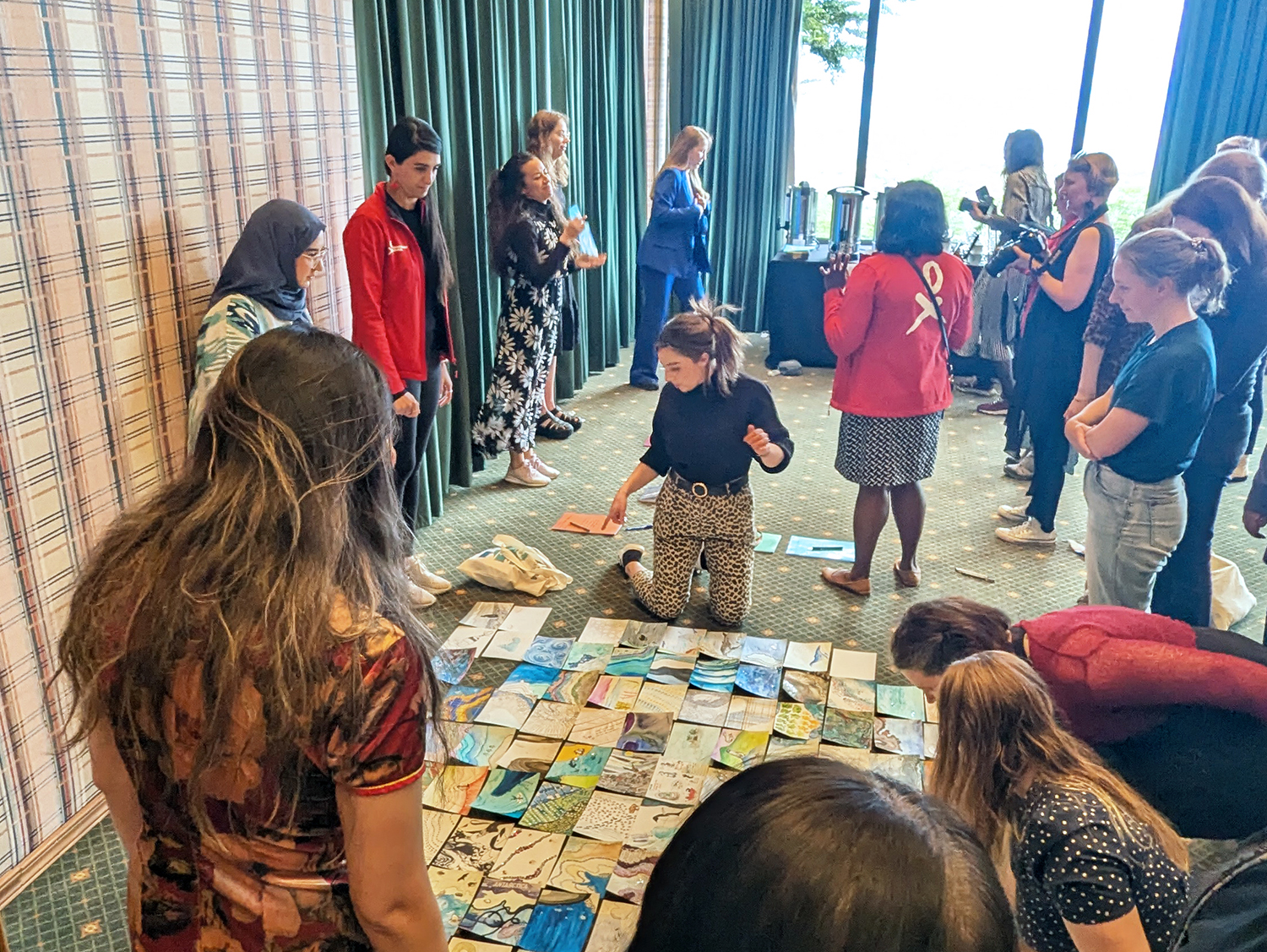
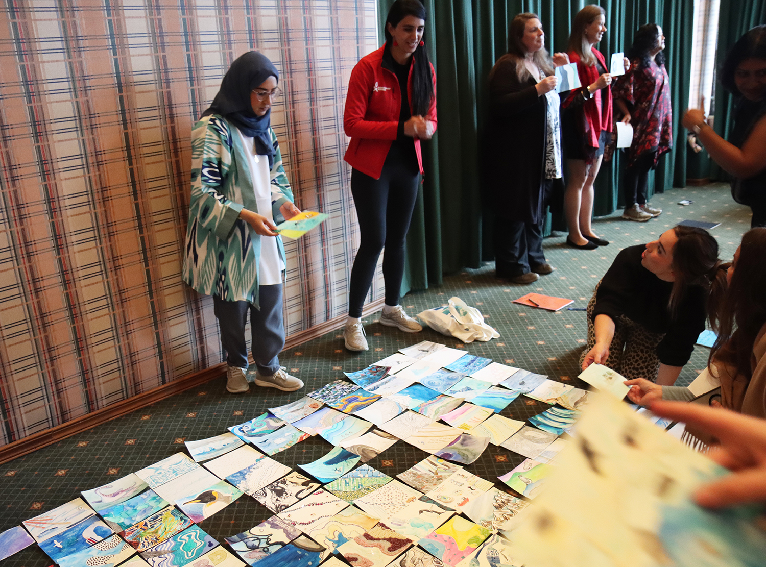
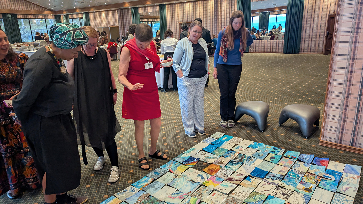
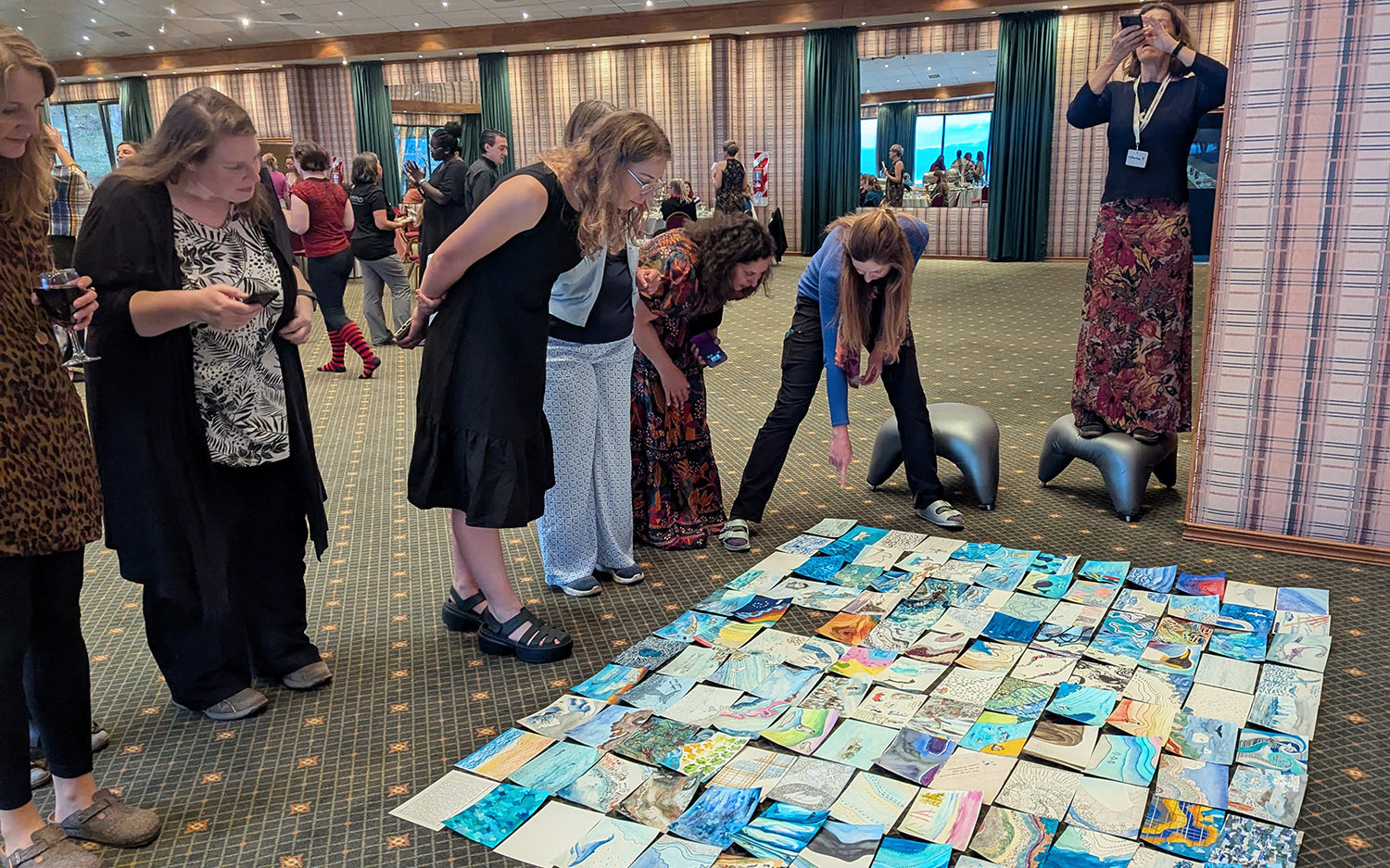
Once we disembarked from the ship, we had a final dinner as a collective in Ushuaia. Top priority was to bring all the pieces of the map together for the first time. Again, the team sorted the cards to get them into the right order, and the right way up. One card at a time, the continent began to take shape - but this time, instead of black and white, Antarctica was awash with colour, texture, and words.
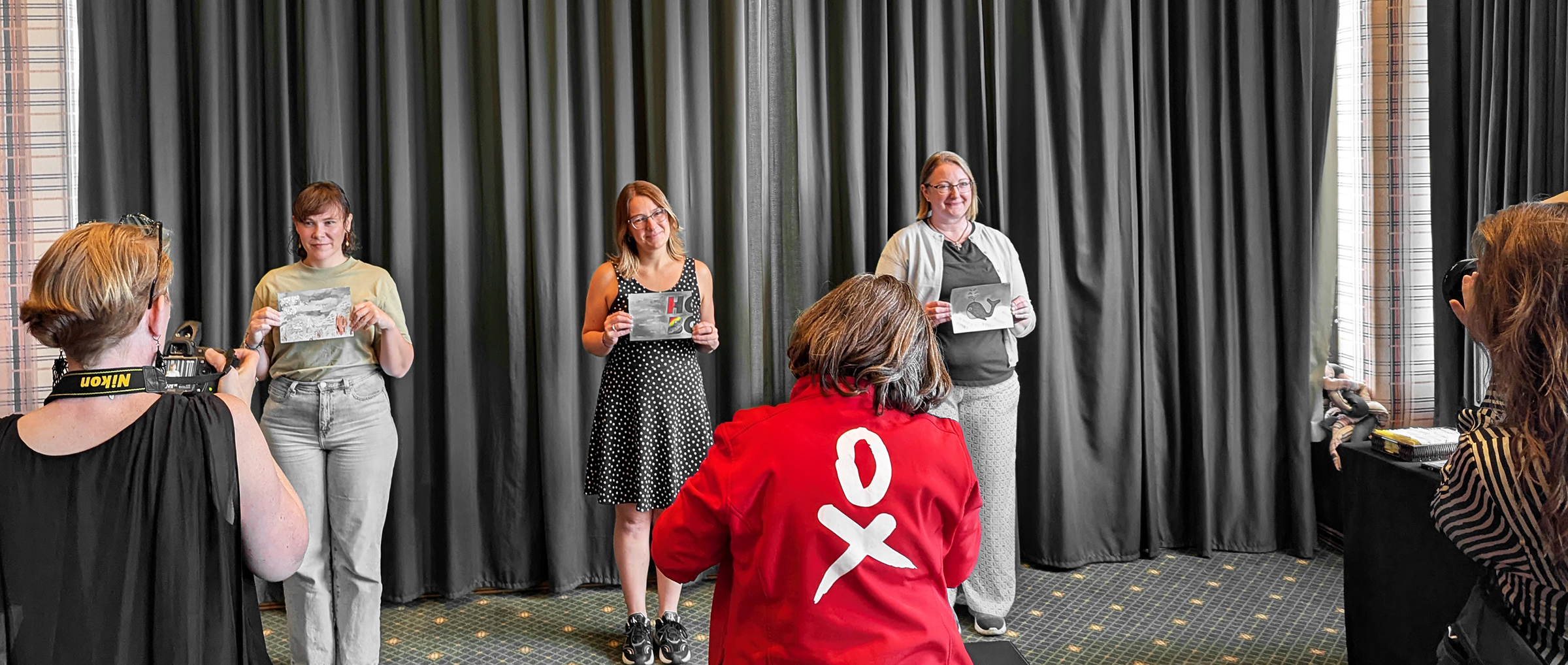
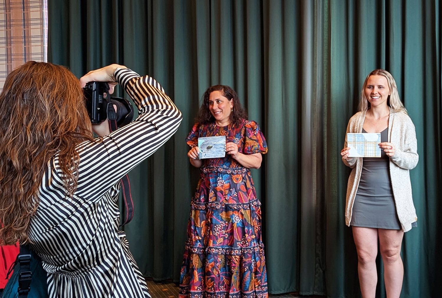
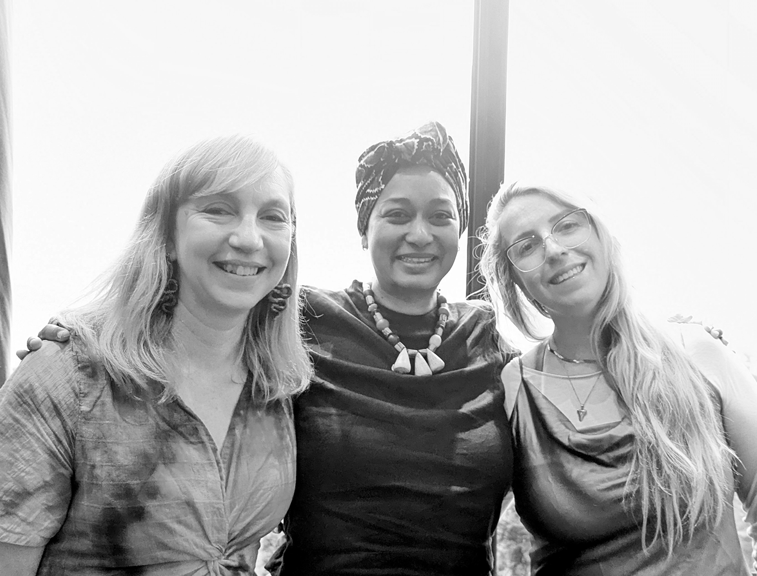
With this one last night together, we had a unique opportunity to photograph the voyagers with their cards. A system quickly emerged, so that the cards were kept in order, and a band of photographers took portraits against an impromptu backdrop. It was a beautiful evening of connection, joy and forging new memories.
For even more 'behind the scenes' information on the making of the Antarctica map, watch this talk on YouTube: